Transit GIS data for the New River Valley is now available for download!
The MPO recently launched a project to develop a GIS data portal in support of transit planning initiatives. The purpose of the project is to improve coordination and regional connectivity among public transit service providers operating in the NRV. Project meetings were held with stakeholders to discuss transit planning processes, GIS technologies and existing data sources. Several agencies collaborated to share transit-related data; a total of 140 shapefiles were collected and cataloged. General Transit Feed Specification (GTFS) files from transit operators were used to update route and stop information. An interactive web map, displayed below, was created to visualize some of the most important regional transit data layers.
To download map package click here.
A File Transfer Protocol (FTP) site was created to make regional transit data more accessible to stakeholders and the public. The FTP site allows users to download available transit shapefiles and KML layers along with associated metadata. For additional layers, visit the regional transit FTP site found here: ftp://ftp.ord1-1.websitesettings.com/.
Public Login Information:
- Username: mpopublic
- Password: Mpopublic1
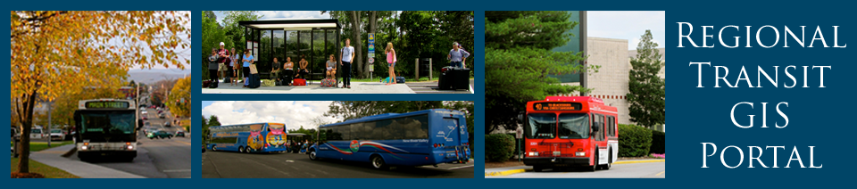
NRV Public Transit Operators:
Click on an image below to view the transit agency's website.
CATHERINE HOWEY (BT INTERN) AWARDED 1ST PLACE IN VA GIS CONFERENCE