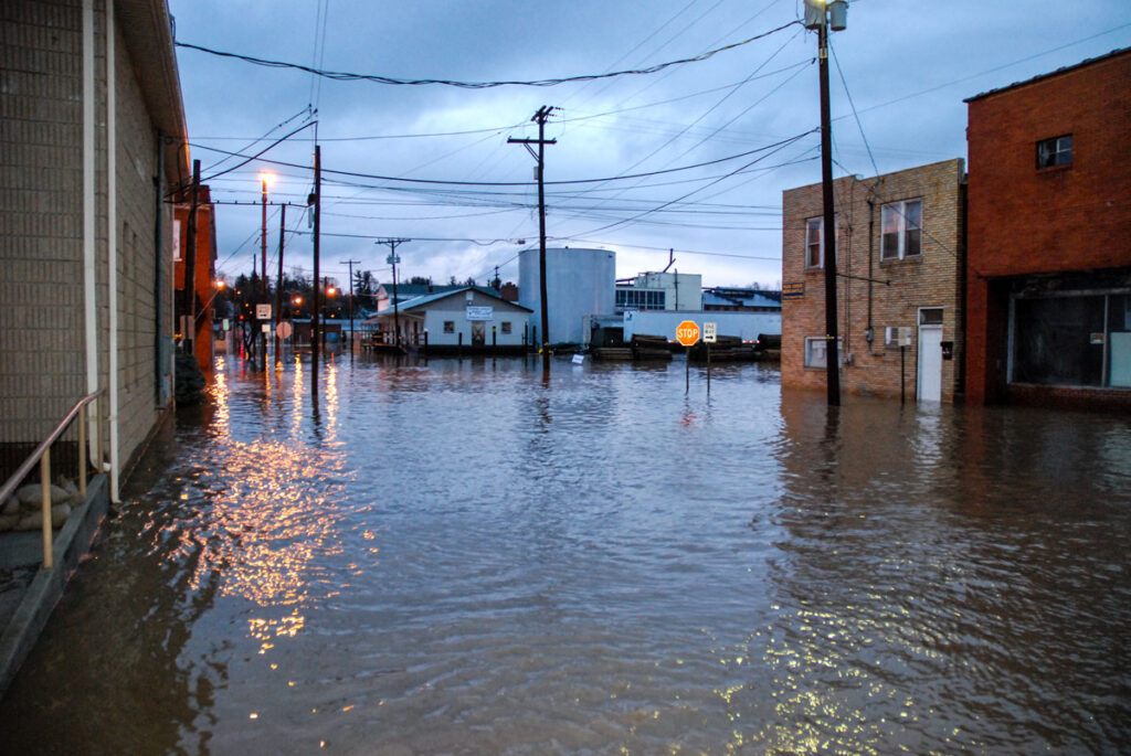
Hurricane Florence may have serious impacts to the New River Valley. Here are some helpful resources to review before the rain sets in.
NRV Mapping of Vulnerable Roadways: This project mapped out potentially hazardous roadways in the region during inclement weather. The maps are shown by location. Unfortunately, we do not have data for Pulaski County currently.
Floyd County – https://nrvpdc.maps.arcgis.com/apps/MapTour/index.html?appid=aa0772c486394b4fba31cb57eebeb2c8
Giles County – https://nrvpdc.maps.arcgis.com/apps/MapTour/index.html?appid=df758825e30143a186eaa6dcaa179abd
Montgomery County – https://nrvpdc.maps.arcgis.com/apps/MapTour/index.html?appid=be201ccea0bf4b239b1ef3b8313e80b8
Radford - https://nrvpdc.maps.arcgis.com/apps/MapTour/index.html?appid=3f46e9da363f45ed8f4d0e74f00ce477
The Commission also has a map showing the flood zones in the region. Use the Hazards map in the link below to view flood zones in our region.
The Virginia Department of Emergency Management provides helpful information on how to prepare for emergency situations, such as flooding and what to include in your emergency supply kit.

