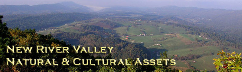
Project Information
At the beginning of this planning process, a group of dedicated professionals from locality staff, local conservation groups, and citizens was brought together. The goal of that group was to initiate a green infrastructure planning process in the region.
Initially this group, lead by the NRVPDC and The Conservation Fund, organized a series of five community meetings. These meetings presented community members the opportunity to learn about green infrastructure and have voice in how their community values its natural assets.
Since 2008, the committee has been working to identify the natural and cultural assets in the region. The first task was to identify the base network which would underlie all other maps. The group decided to use the Virginia Natural Landscape Assessment, a dataset provided by the Virginia Department of Conservation and Recreation-Natural Heritage Program. The Virginia Natural Landscape Assessment used land cover information from satellite images to identify large patches of natural land. These patches have at least 100 acres of interior cover, or areas at least 100 meters from the edge of the patch. Smaller patches were also identified and grouped with the larger patches as "ecological cores." These ecological cores were assigned over 50 attributes including rare species and habitats, environmental diversity, species diversity, patch characteristics, patch context, and water quality benefits. To assist individuals and groups using the data, nine of these attributes were selected and analyzed to develop a score for ecological integrity. The scores were C1 - Outstanding; C2 - Very High; C3 - High; C4 - Moderate; and C5 - General.
Because the scoring was done at the state level, the NRV Steering Committee felt it was important to find those ecological cores that are significant at the regional level. To do this, the scores were recalculated based only on cores in the region. Only cores scoring C1 or C2 were used as the base map for green infrastructure in the region.
The NRV Steering Committee spent several months determining the goals they wished to have illustrated by the mapping project. Working groups were formed to focus on each of the goals individually. These working groups were comprised of steering committee members that volunteered to dedicate some of their time to identify the data and assets necessary to visually depict each goal. The working groups then worked with the NRVPDC to develop the maps presented on this webpage.
The NRV Steering Committee is now working to re-introduce this asset inventory to the localities in the area. The goal is to have the localities include their cultural and natural assets as they make decisions about current and future land use patterns. The hope is to preserve these assets that improve the quality of life for residents and bring visitors to experience the unique characteristics that define the region.
(Methods described above were recommended by the Green Infrastructure Center, Inc. www.greeninfrastructurecenter.org)